Author: Imogen Telfer
Senior Analyst, Records and Archives
Historic records of the Geological Survey of Victoria (GSV) (VA 4118) and its various parent departments, including the Mines Department (VA 612), Department of Minerals and Energy (VA 611) and Department of Natural Resources and the Environment (VA 3972), have recently been added to PROV’s collection. The records include geological and mining maps and plans, records of mining and extractive industry licences, and data from drilling activity and geophysical surveys. They date from the GSV’s inception in 1852 through to more recent exploration. The records have been, and still are, important resources for those working in the fields of geoscience, geological investigations, minerals and energy surveys and understanding the State’s geological systems, as well as for people with an historical interest in those areas.
The records transfer project
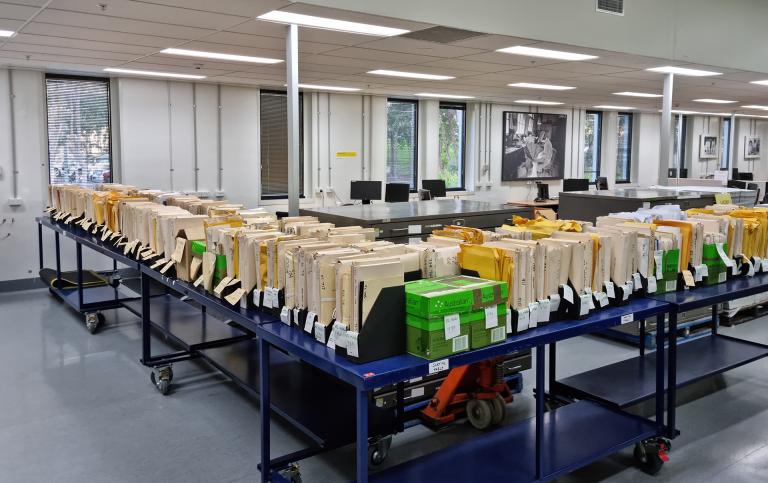
GSV commissioned PROV to undertake the transfer, re-housing and documentation of the large collection of geological records that were stored at the GSV Drill Core Library in Werribee. A team of PROV archivists was assembled to undertake the work which occurred over a 14-month period. You can read more about the overall project process here.
As well as physically re-housing and describing the records, a significant part of this project was in establishing the original contexts, uses and record-keeping systems of the records. Many of the records had been originally held in regional offices of the GSV before being relocated to the GSV Drill Core Library in Werribee once no longer in active use. While the PROV team were able to benefit from the invaluable expertise of some current GSV staff, there was quite a bit of work needed to be undertaken by the archivists to decipher the recordkeeping systems of these technical geological records.
Recreating laboratory recordkeeping systems
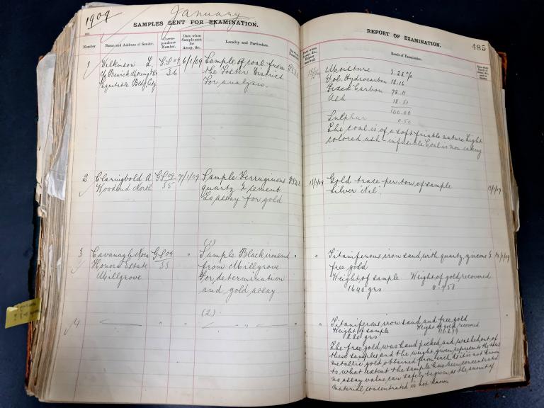
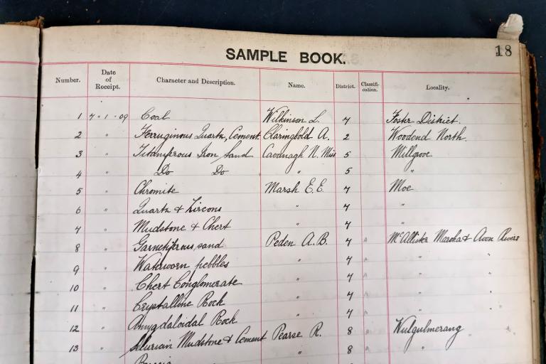
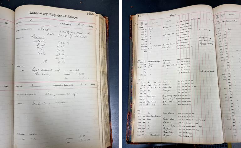
One example of the archival detective work we undertook was in trying to establish the management of assay testing records. An assay is a chemical analysis used to determine the proportion and quality of metallic (e.g. gold, silver, copper) or non-metallic (e.g. sulphur, phosphorus) elements in a sample (e.g. coal, quartz, bore water) and we brought in records of assay testing undertaken by the laboratories of the GSV and the Mines Department from 1930 to 1983, serialised in VPRS 19143 Assay Reports. We subsequently found a number of different volumes of assay registers which had become separated from the reports at Werribee, and for which we had very little context. They started earlier than the assay reports we had already processed and continued to the 1940s before stopping.
By looking through the various entries and comparing dates, identifying numbers, indexes and other details, we identified four different series of these registers, serving four different functions. We’ve been able to identify the flow of information from the Mines Department to the laboratory and back again, as well as the internal indexing and recording-keeping maintained within the laboratory. We’ve also been able to identify when this rather convoluted system broke down around the 1940s, when bound volumes of assay reports appeared to become the single source of truth. All of this enabled us to piece together the overall picture and ensure our archival descriptive work was as useful as possible.
Map and plan collection mapping the land and its use
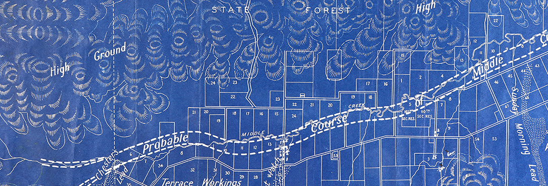
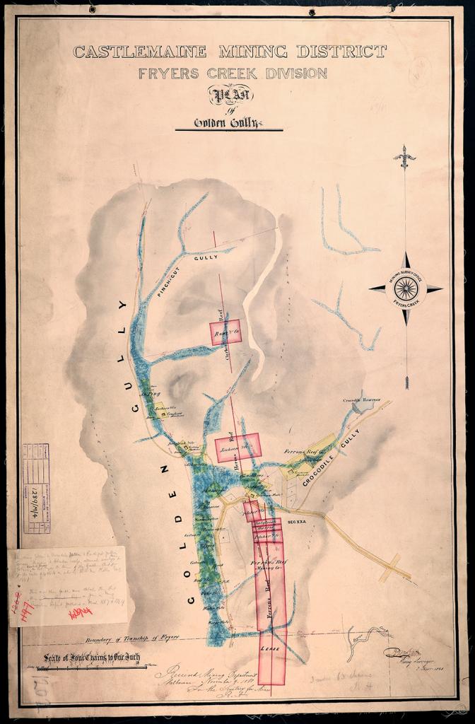
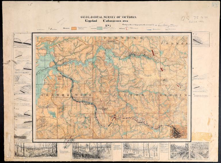
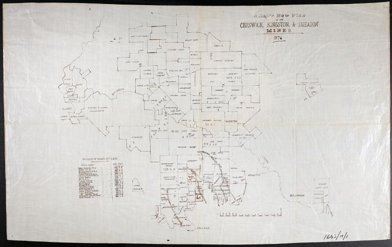
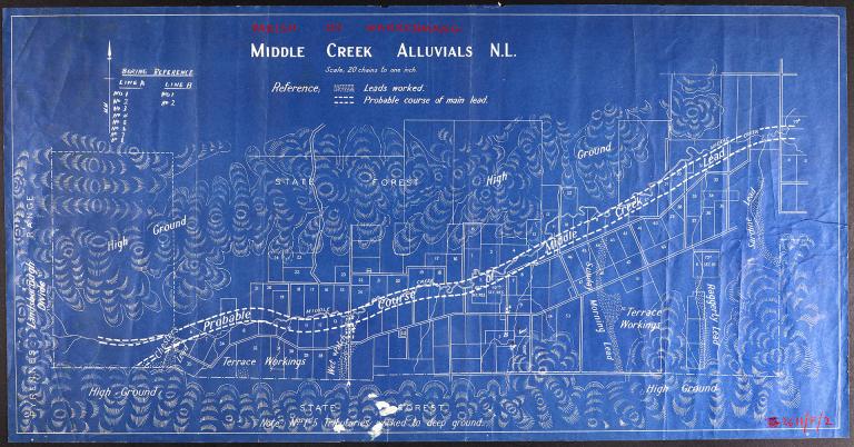
A significant portion of the project involved the re-housing and describing of historical maps and plans, almost 13,000 in total! They came in a range of sizes and physical conditions and had been stored in a mixture of flat plan drawers, vertical plan cabinets and rolls in long archival map boxes. This transfer project involved the re-housing of these maps and plans into archival quality enclosures. They were then stored in our repository's customised map and plan storage. All maps and plans were either created by GSV or acquired by GSV from external workers in the geological, minerals, extractive, petroleum and other associated sectors. The collection contains plans and sections prepared from survey of mine workings, geology of mines and regions, layout of mining titles, locations of features such as shallow and deep leads, areas of alluvial workings, tailings dumps, quartz reefs, mine shafts and more. Here are just a few examples of maps from VPRS 16163 Historic Mine and Infrastructure Plans:
Records documenting the management of mining activity
Something the team didn’t expect when undertaking this project was how familiar we would get with mining legislation! The collection includes a large number of records relating to the legislative management of mining tenements and extractive industries in Victoria.
Among other things, the records in VPRS 19163 Mining Tenement Files contain technical and progress reports written by geologists for government departments while working on tenements, with sometimes quite detailed information about the geographical and geological settings, the land use, the history of exploration or mining works in the area, planned rehabilitation of land areas, and the quantity and quality of mineral resources.
VPRS 19144 Extractive Industry Working Plans and Proposal Files contains similar records related to licences, leases and permits for the extraction of stone from land for commercial or construction purposes.
Other technical geological records series
Another significant portion of this collection is comprised of data collected from various geological activities and surveys, including the drilling of bores and wells, and aerial, land and marine geophysical surveys. While much of the technical detail went over our heads, it was clear there is a wealth of knowledge captured in these records – some of which couldn’t be recreated today! There are records created in the course of a particular activity (such as VPRS 19325 Drilling Rig Activity Reports, VPRS 19344 Well Log Files or VPRS 19416 Geophysical Survey Data) as well as some records relating to specific projects, such as the Princes Gate Development (VPRS 19411), City of Melbourne Underground Railway (VPRS 19412) and King Street Bridge (VPRS 19347).
Project complete!
Almost 27,000 records from the collection are now described and preserved and available on open access for researchers to order and view in our North Melbourne reading room. To explore the collection, you can browse through the series links below:
Material in the Public Record Office Victoria archival collection contains words and descriptions that reflect attitudes and government policies at different times which may be insensitive and upsetting
Aboriginal and Torres Strait Islander Peoples should be aware the collection and website may contain images, voices and names of deceased persons.
PROV provides advice to researchers wishing to access, publish or re-use records about Aboriginal Peoples
